Land Survey & Acquisition
Comprehensive identification of greenfield and brownfield sites, precision boundary and cadastral land survey, statutory land acquisition procedures, and alienation documentation for major industries.
- ✔ Site identification, reconnaissance & boundary demarcation
- ✔ Cadastral survey & land record verification
- ✔ Land acquisition & alienation filing via IDCO and Revenue Dept
- ✔ Complete title search, ownership documentation & R&R support

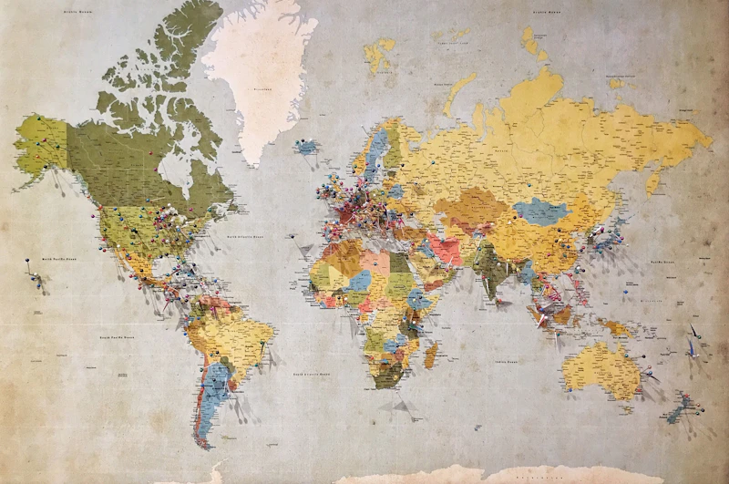
CAD Drawings, GIS Work & Remote Sensing
Digital transformation of spatial information using state-of-the-art CAD software, Geographic Information System (GIS) layers, and satellite remote sensing.
- ✔ Detailed CAD engineering drawings & layouts
- ✔ GIS spatial database creation & Land Information Systems
- ✔ Remote Sensing applications & satellite imagery analysis
- ✔ Cadastral village map digitization & georeferenced superimposition
DGPS & ETS Survey, Soil Testing
Differential Global Positioning System (DGPS) and Electronic Total Station (ETS) field surveying delivering millimeter-level precision across challenging terrains.
- ✔ DGPS geodetic control network establishment
- ✔ Electronic Total Station (ETS) topographical mapping
- ✔ River cross-section, hydrological & corridor surveys
- ✔ Geotechnical investigation and laboratory soil testing


Forest Diversion & MoEF Approvals
End-to-end statutory forest clearance proposals under the Forest (Conservation) Act, liaising with the Ministry of Environment, Forest and Climate Change (MoEF&CC).
- ✔ Forest diversion proposal dossier preparation & online PARIVESH filing
- ✔ Liaison with State Forest Department and MoEF regional/central offices
- ✔ Comprehensive socio-economic survey of project-affected zones
- ✔ RPDAC approval facilitation & Rehabilitation and Resettlement (R&R) plans
Document Preparation & Filing for ML/PL
Regulatory consulting for mineral concessions, Mining Leases (ML), and Prospecting Licenses (PL) adhering strictly to MMDR regulations.
- ✔ Document compilation and application preparation for ML / PL
- ✔ Mine boundary demarcation & DGPS geo-referencing
- ✔ Mineral lease map preparation & IBM / Directorate of Mines compliance
- ✔ Due diligence for statutory approvals & auction procedures

Techno-Economic & Financial Studies
Feasibility analysis, capital expenditure modeling, and viability studies for industrial power, metals, and infrastructure investments.
- ✔ Pre-feasibility & Detailed Project Reports (DPR)
- ✔ Techno-financial assessment of privately financed infrastructure
- ✔ Slurry pipeline & power station viability evaluations
- ✔ Regulatory risk analysis & investment advisory